Kai Keller · 8 September 2026
Legacy Metal Contamination from Tyne Forges Influences Modern Riverbank Development Disputes
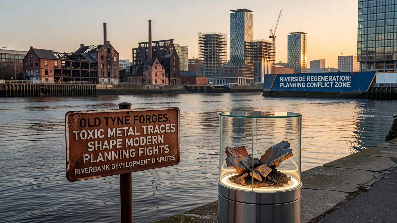
Old forges along the Tyne left behind deposits of lead, arsenic, and cadmium that continue to affect land use decisions today, and those residues now intersect with regeneration projects in ways that require detailed site assessments before any construction proceeds. Data from soil surveys conducted over the past decade show elevated concentrations in several stretches between Newcastle and Gateshead, where former industrial activity concentrated heavy metals in the ground and sometimes in sediments near the waterline. Planning authorities therefore demand remediation plans or risk assessments as standard parts of applications, which extends timelines and raises costs for developers.
Historical Context of Forge Operations
Forge sites operated from the late eighteenth century through the early twentieth, processing iron and other metals for shipbuilding, machinery, and infrastructure components, while waste materials including slag and ash were often left in place or used as fill. Over time these deposits weathered and released metals into surrounding soils, creating a patchwork of contaminated zones that modern surveys map with increasing precision. Researchers at regional universities have documented how tidal action and occasional flooding redistributed some particles, extending the affected area beyond the original footprints of the workshops themselves.
Current Environmental Data and Monitoring
Environment Agency records indicate that several parcels along the river exceed threshold levels for residential or commercial reuse without intervention, prompting targeted testing whenever new proposals emerge. Figures from 2024 sampling rounds revealed lead concentrations reaching several hundred milligrams per kilogram in isolated pockets, whereas arsenic and cadmium appeared in lower but still notable quantities. Those measurements feed directly into the decision matrices used by local planning committees, which weigh redevelopment benefits against the expense and feasibility of cleanup measures. Monitoring programs continue on a rolling basis, with additional rounds scheduled to track any seasonal shifts caused by rainfall or river levels.
Planning Challenges in 2025 and Beyond
Developers seeking to convert former industrial land into housing, offices, or public spaces must submit detailed contamination reports that outline excavation, capping, or treatment options, and those submissions undergo scrutiny from both environmental officers and community stakeholders. In one recent case a mixed-use scheme near the river was revised twice after initial soil tests flagged areas requiring additional mitigation, illustrating how legacy traces alter project scopes and budgets. Observers note that such revisions have become routine rather than exceptional, as authorities apply consistent standards derived from national guidelines.
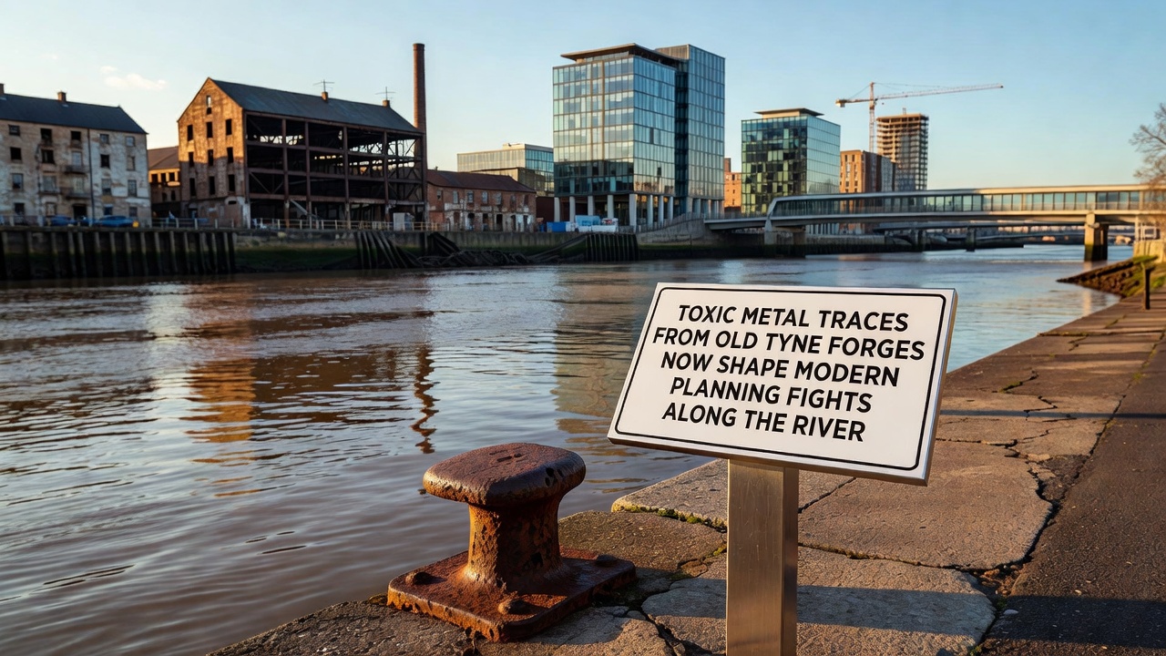
September 2026 will see a scheduled review of several outstanding applications along a two-kilometer stretch east of the city center, where cumulative data from multiple sites will inform whether phased remediation can proceed in parallel with construction. That meeting is expected to reference updated mapping layers produced by consultants working under contract to the local authority, layers that integrate historical forge locations with contemporary test results. Similar processes in other industrial river corridors have shown that early integration of contamination data into master plans reduces later delays, although the upfront investment in surveys remains substantial.
Remediation Approaches and Regulatory Framework
Techniques employed range from simple excavation and off-site disposal to more complex stabilization methods that bind metals in place, each chosen according to site-specific risk profiles and intended end use. The regulatory framework draws on established protocols from bodies such as the UK Environment Agency alongside comparative approaches documented by the US Environmental Protection Agency in its urban river restoration projects, allowing planners to reference a range of proven options. Academic studies published by institutions in Canada have also contributed data on long-term monitoring after treatment, helping local teams anticipate maintenance requirements once sites are returned to active use. Those references appear in supporting documents rather than as direct mandates, yet they shape the range of acceptable solutions presented to decision makers.
Community and Economic Dimensions
Residents and business groups participate in consultation stages, raising questions about health implications and the pace at which contaminated land can safely support new amenities. Economic analyses prepared for the local authority project that cleaned-up sites could support several hundred new jobs once redevelopment completes, although those projections depend on successful navigation of the assessment process. Case examples from comparable UK river cities show that transparent communication about testing results tends to build confidence among stakeholders, whereas gaps in information can prolong debates. Planning officers therefore schedule public briefings alongside technical reviews to maintain alignment between regulatory requirements and community expectations.
Conclusion
The interplay between historical forge residues and present-day planning decisions along the Tyne continues to evolve as new data and treatment technologies become available, with outcomes determined by the quality of site investigations and the clarity of regulatory guidance. Ongoing monitoring through 2026 and beyond will supply further evidence that either supports accelerated approvals or identifies additional areas needing attention, ensuring that development proceeds only after risks are addressed in line with current standards.