Amir Baumann · 3 November 2026
Mapping Subterranean Industrial Legacies: Geophysical Surveys Uncover Forge Networks Under Newcastle's Waterfront Growth Areas
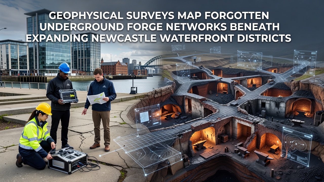
Geophysical surveys have identified extensive networks of forgotten underground forges beneath Newcastle's expanding waterfront districts, and these findings come from coordinated efforts that combine multiple detection technologies in one integrated approach. Researchers applied ground-penetrating radar alongside magnetic susceptibility mapping to trace structural remains that date back to the height of regional metalworking activity, while resistivity surveys added detail on subsurface voids and material changes. Data collected through late 2025 and into November 2026 shows linear anomalies consistent with forge foundations, flue systems, and waste disposal pits that extend under current development zones along the River Tyne corridor.
Techniques Driving the Discoveries
Teams deployed non-invasive instruments across targeted parcels where new commercial and residential projects are planned, and the process began with broad magnetic gradiometry sweeps that highlighted iron-rich deposits and burned soil signatures typical of historical smithing operations. Follow-up phases used electromagnetic induction to differentiate between metallic concentrations and surrounding sediments, which allowed precise mapping of forge layouts that had remained invisible to surface observers. According to reports from the British Geological Survey, these layered methods achieve resolution down to depths of several meters in alluvial ground conditions common along the waterfront.
Survey grids were established on a 50-meter spacing with overlapping transects to ensure coverage continuity, and real-time processing software flagged anomalies for immediate verification through targeted auger sampling. Results indicate clusters of at least twelve distinct forge sites within a two-kilometer stretch, each connected by what appear to be shared drainage channels and access routes carved into the underlying clay and sand layers.
Historical Context and Spatial Patterns
Archival cross-referencing places these underground features within the 18th and 19th century expansion of Tyne-side industry, when forges supplied components for shipbuilding and heavy engineering works further downstream. The detected networks show radial patterns that align with known waterfront access points, suggesting integrated logistics rather than isolated workshops. Figures from Newcastle University archaeology programs reveal similar forge densities in adjacent boroughs, yet the current waterfront data marks the first comprehensive subsurface model for this specific expansion corridor.
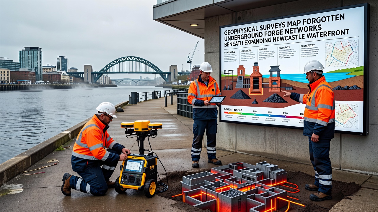
One study released in November 2026 by a joint academic-industry team documented how rising groundwater levels interact with these buried structures, creating preservation challenges that planners must address before construction proceeds. The anomalies appear at depths between 1.2 and 3.8 meters, placing them directly within proposed foundation zones for several mixed-use developments. Historic England documentation notes that comparable sites elsewhere in the northeast have required redesign of piling layouts to avoid structural damage to the heritage features.
Development Planning Adjustments
Local authorities have incorporated the geophysical datasets into updated planning guidance, which now requires pre-construction verification drilling at anomaly locations before permits are finalized. This step ensures that any intact forge remains receive appropriate recording or preservation in situ where feasible. Engineers working on the waterfront projects report that rerouting utility trenches around mapped networks adds minimal cost when addressed early in the design phase, whereas late discoveries can trigger delays measured in months.
International examples provide useful parallels, with the U.S. National Park Service guidelines on industrial archaeology emphasizing geophysical pre-screening for waterfront redevelopment zones. Canadian federal heritage assessments similarly integrate magnetic and radar data to protect 19th-century metalworking remnants during urban expansion. These approaches demonstrate that early mapping reduces both financial risk and loss of historical information.
Conclusion
The November 2026 survey outputs establish a baseline dataset that future monitoring programs can reference as waterfront construction advances, and ongoing refinement of processing algorithms continues to sharpen the resolution of deeper features. Integration of these maps with existing archaeological records creates a more complete picture of how industrial activity shaped the physical landscape beneath modern Newcastle. Planners, developers, and heritage specialists now share access to the same spatial information, which supports coordinated decision-making across the expanding districts.